Best Hikes near Asheville
Best Hikes in Asheville
Looking for where to stay in Asheville NC for hiking? The Lazy Tiger Hostel is your perfect basecamp for exploring Western North Carolina's trails. Overwhelmed by the hundreds of hiking options in Western North Carolina? We've curated this small list of the best hikes in Asheville, which should give a few options for all different types of hikers. Whether you're seeking the best hikes in Asheville with views or the best hikes in Asheville with waterfalls, we've got you covered. Want to go for a casual stroll or break a sweat? All of these trails received the official Lazy Tiger stamp of approval!
Easy Hikes
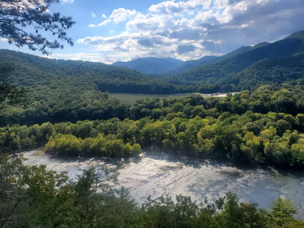
Lovers Leap
Difficulty: Easy
Length: 1.8 miles
Elevation Gain: 472 ft
Route: Loop
Distance from Hostel: 38 minutes
Suggested Brewery: Big Pillow Brewing Company

Richmond Hill Park
Difficulty: Easy
Length: 2.5 miles
Elevation Gain: 308 ft
Route: Loop
Distance from Hostel: 9 minutes
Suggested Brewery: Riverside Rhapsody
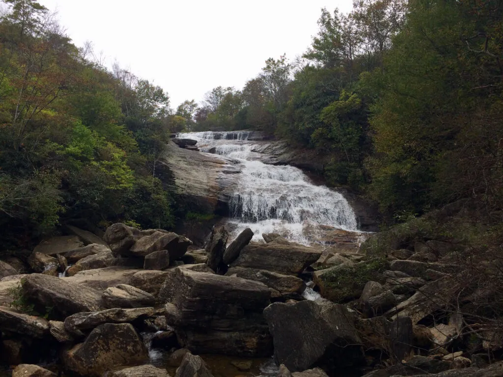
Graveyard Fields
Difficulty: Easy
Length: 2.9 miles
Elevation Gain: 305 ft
Route: Loop
Distance from Hostel: 60 minutes
Suggested Brewery: Sierra Nevada Taproom
Moderate Hikes
John Rock
Difficulty: Moderate
Length: 4.9 miles
Elevation Gain: 1,082 ft
Route: Loop
Distance from Hostel: 56 minutes
Suggested Brewery: Ecusta Brewing Company
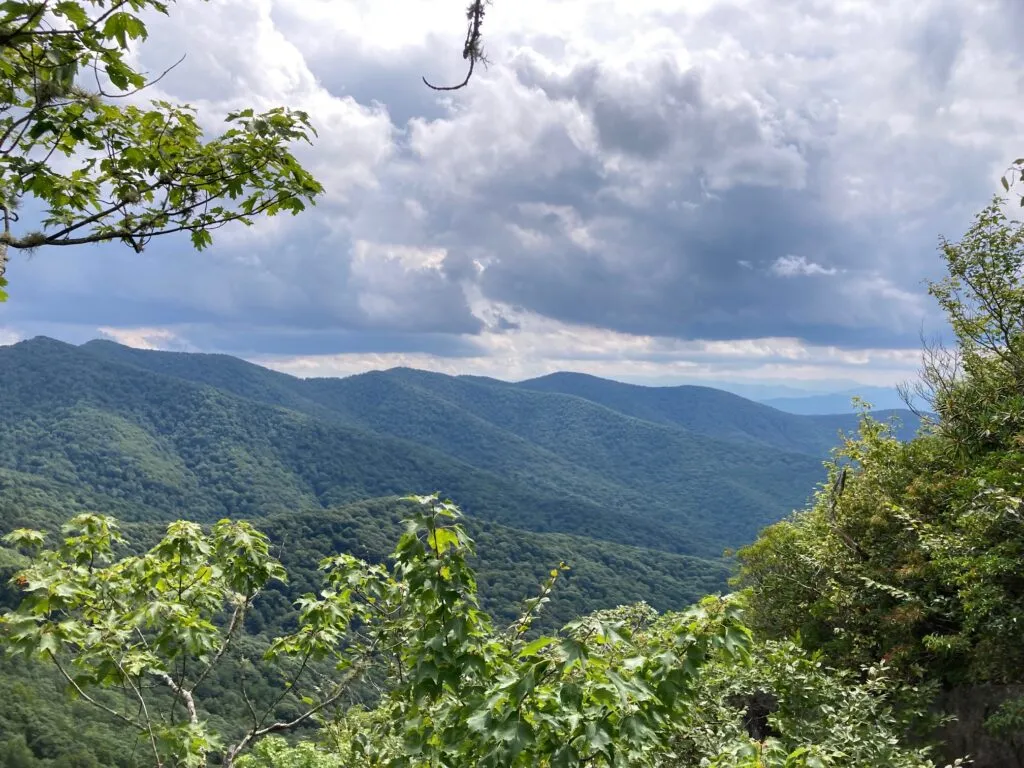
Lane Pinnacle
Difficulty: Moderate
Length: 4.1 miles
Elevation Gain: 1,141 ft
Route: Out and Back
Distance from Hostel: 31 minutes
Suggested Brewery: Eluvium Brewing Company
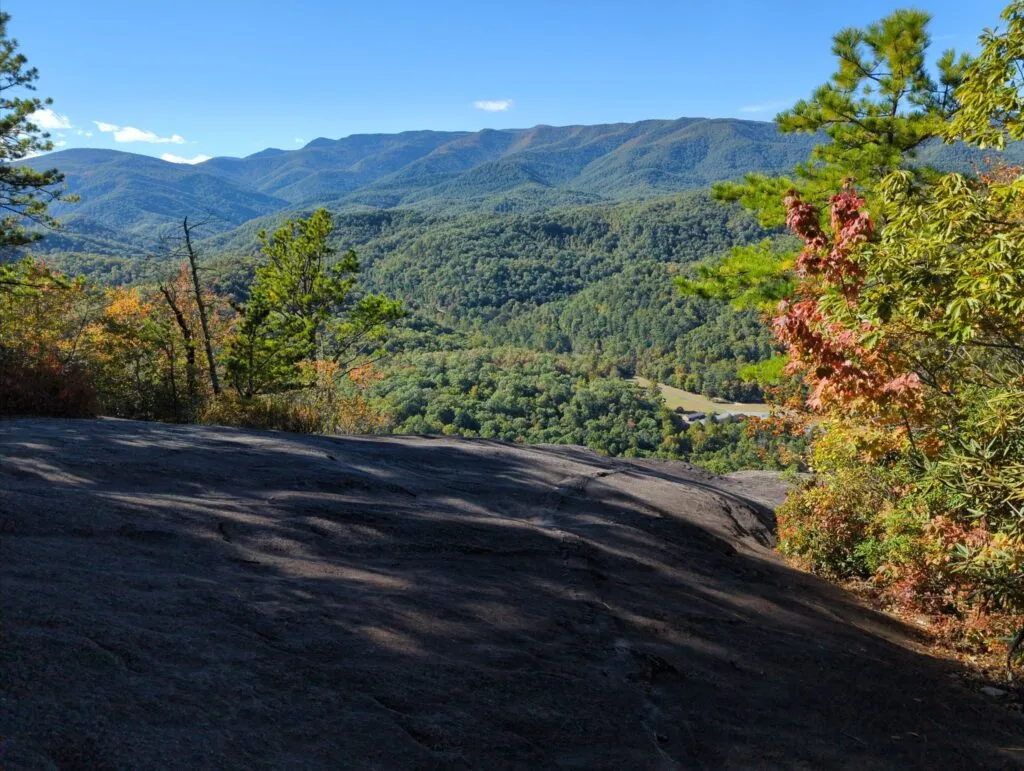
Hawksbill Rock
Difficulty: Moderate
Length: 2.8 miles
Elevation Gain: 1,049 ft
Route: Out and Back
Distance from Hostel: 37 minutes
Suggested Brewery: Zebulon Artisan Ales
Challenging Hikes

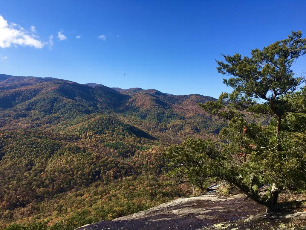
Graybeard Trail
Difficulty: Challenging
Length: 8.8 miles
Elevation Gain: 2,404 ft
Route: Out and Back
Distance from Hostel: 34 minutes
Suggested Brewery: Lookout Brewing Company
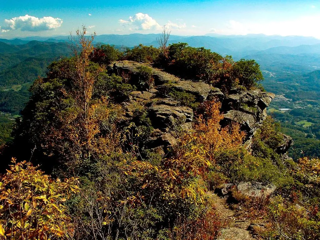
The Pinnacle Trail
Difficulty: Challenging
Length: 7.4 miles
Elevation Gain: 2,477 ft
Route: Out and Back
Distance from Hostel: 53 minutes
Suggested Brewery: Innovation Brewing Company
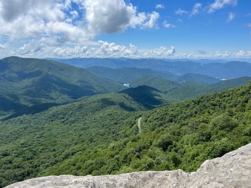
Looking Glass Rock
Difficulty: Challenging
Length: 6.2 miles
Elevation Gain: 1,748 ft
Route: Out and Back
Distance from Hostel: 55 minutes
Suggested Brewery: Oskar Blues Brewery